SPATIAL INTELLIGENCE
Connect sensing, modelling and spatial experience into one decision chain
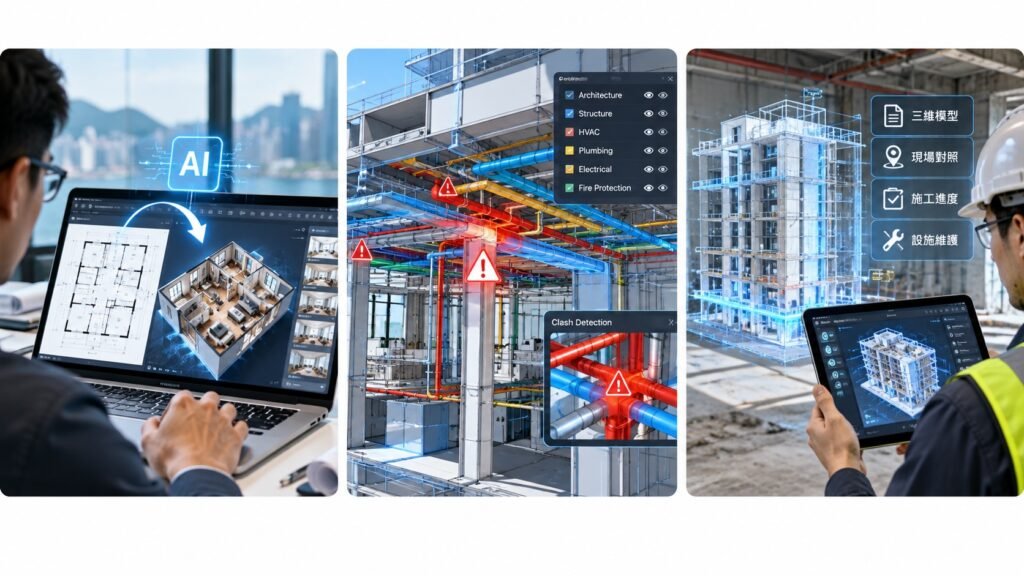
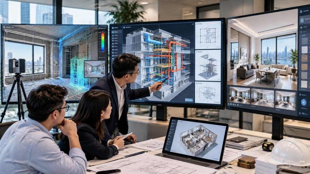
Arisehere AI develops practical workflows across building sensing, AI BIM coordination and interactive spatial applications. The common goal is to turn complex physical-space information into evidence that people and project teams can understand and use.
VISUAL STORY
Technology is clearer when you can see the people and the work
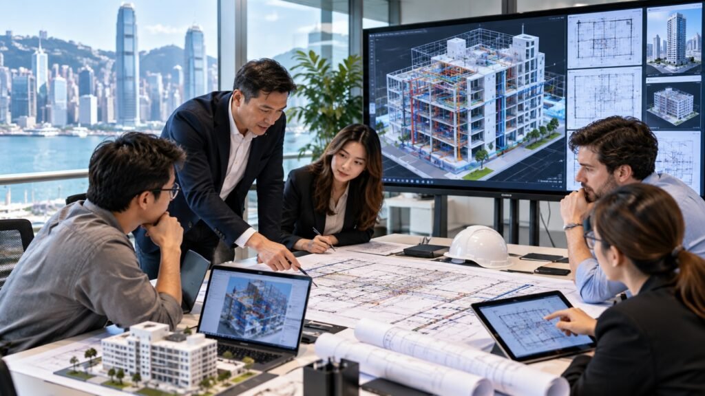
Real people, demonstrations and project moments give partners and customers a more complete view of how Arisehere AI works.
What this page helps you understand
01
Sense: collect relevant physical-space evidence
02
Model: structure requirements, geometry and relationships
03
Coordinate: identify conflicts and review responsibilities
04
Experience: communicate spatial choices more intuitively
FREQUENTLY ASKED QUESTIONS
Questions before you enquire
Is every product based on the same technology?
The products use different methods and serve different users, but share a focus on clearer spatial information and decisions.
Is AI output automatically correct?
No. Input quality, scope, assumptions and professional review remain essential.
Can organisations explore a pilot?
Yes. Share the decision problem, available data, expected outcome and confidentiality requirements for an initial discussion.
Not sure where to start?
Tell us the property, project or spatial problem first. We will help identify the most relevant next step.